
Drone 3D Roof Mapping in Nashville and Middle Tennessee
A grid-flown drone survey that produces a measured 3D model and orthographic map of your roof, with dimensions, slopes and the exact location of every defect.
- Reports, Claims and Second Opinions
- Seen from above
- Middle Tennessee
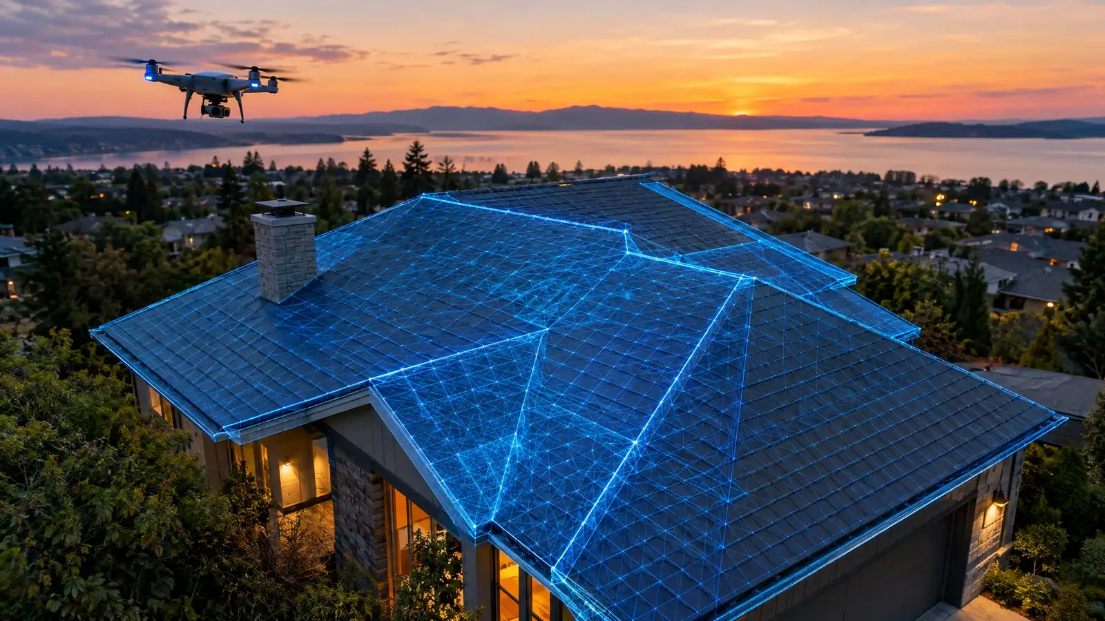
Drone 3D Roof Mapping, explained.
A single photo shows a defect. A 3D map shows where it is, how big it is and how it relates to everything else. By flying a grid pattern with overlapping images, a drone can generate a measured model of the roof, with slopes, areas and distances you can rely on.
We use the model to measure roof area and pitch, to place every defect on an accurate map and to compare results over time. It is especially useful for large commercial roofs, complex residential roofs and projects where contractors need measurements. The deliverable is a map and measurements, with photographs linked to locations.
Signs this service fits
- The roof is large or complex
- You need accurate measurements
- You want a precise defect map
- You plan multi-year monitoring
A good fit, and what to know.
We would rather you hear the limits from us than discover them later.
A good fit when
- You need measurements
- You want a map to share with contractors
- You want to track a roof year to year
Worth knowing
- Weather and airspace can limit flying
- Models show the surface, not what is beneath
Why do it this way.
Measured, not eyeballed
Area, pitch and distances are calculated.
Defects on a true map
Locations are exact and shareable.
Great for bids
Contractors measure from the same model.
Tracks change
Compare a map over time.
From first look to finished report.
A clear sequence for every visit.
- 01
Plan the survey
We plan a grid flight with overlapping images for the roof.
- 02
Fly and capture
The drone captures the entire roof and surrounding features.
- 03
Process the model
Images are processed into a measured 3D model and orthographic map.
- 04
Deliver measurements and map
You receive dimensions, slopes, and a map with defects located.
Services that go together.
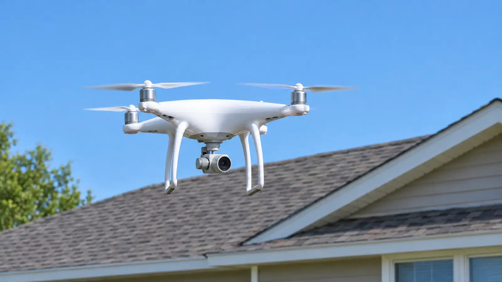 A-02Home InspectionsDrone InspectionHigh-resolution aerial photos and video of every roof surface, chimney, valley and ridge, ideal for steep, tall, fragile or large roofs.Drone aerial
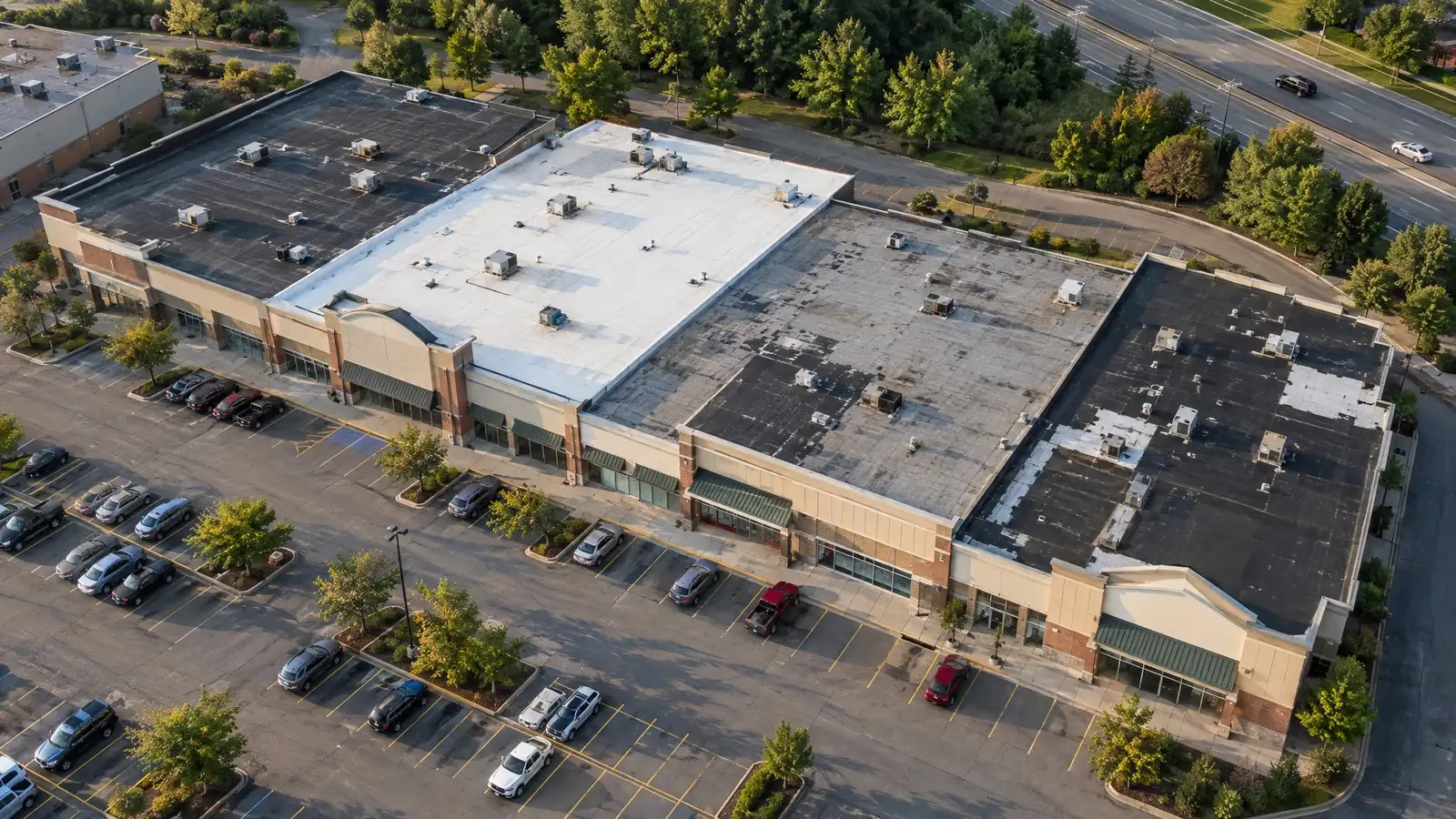 B-05CommercialRoof Condition ReportsA section-by-section condition rating, remaining-life outlook and multi-year repair and replacement outline for owners who need to budget for roofs.Hands-on visual
 B-01CommercialCommercial Roof InspectionThorough inspections of commercial roofs of every type, with drone coverage, close-up photos and a written condition report you can budget from.Hands-on visual
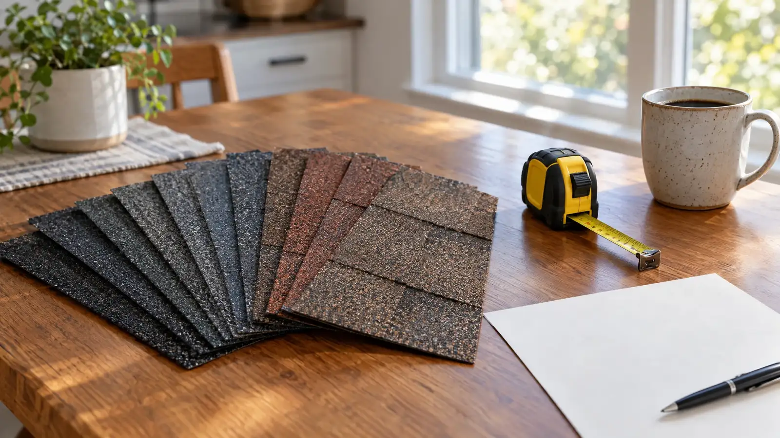 D-04Reports and OpinionsRepair Scope & Bid ReviewA review of roofing estimates against the roof’s actual condition, so you can compare bids on equal terms and spot what is missing or unnecessary.Hands-on visual
Read more on this topic.
Drone Inspections for Large RoofsWhy drones suit large and complex roofs, what they capture and where their limits are.2 min read Roof Asset Management for Property OwnersTreating roofs as assets: baselines, ratings, scheduled inspections and capital plans.2 min read  How to Read a Roof Inspection ReportA guide to ratings, priorities, photos and common phrases in a roof report.2 min read
Drone 3D Roof Mapping FAQ.
Is it accurate enough for measurements?
It is suitable for general roof measurement and planning. Contractors may still verify critical dimensions.
How long does a flight take?
Often a short flight for a house and longer for large sites.
Can the map show defects?
Yes. We mark and label defects on the orthographic map.
Drone 3D Roof Mapping across Middle Tennessee.
Pick your city for its page.
Know your roof. Before the next storm.
Tell us about your roof and what worries you, and we will suggest the right inspection. Most leaks announce themselves long before the ceiling does.